
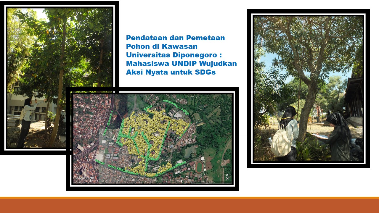
The Haliaster Biology Student Nature Lovers Club (Mapala) at Universitas Diponegoro has once again demonstrated its commitment to nature conservation through tree data collection and mapping activities within the Universitas Diponegoro campus area, as part of efforts to support sustainable green open space management. This activity is part of the implementation of Universitas Diponegoro’s World Class University (WCU) program, which encourages students to actively contribute to the implementation of the Sustainable Development Goals (SDGs). The activity was conducted from April to August 2026. Through this program, students not only deepened their ecological insight and field research skills, but also linked academic activities with global issues, particularly those related to biodiversity, climate change, and sustainable development.
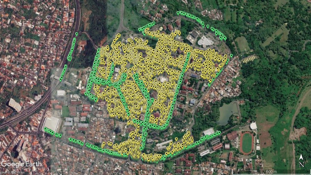
Data collection was carried out across the Universitas Diponegoro environment. Based on the inventory results, a total of 8,676 individual trees belonging to 170 species were recorded. These data indicate that the Universitas Diponegoro campus area has the potential to become a green campus zone that supports biodiversity conservation.
The data collection was conducted through field surveys by identifying each tree based on morphological characteristics, recording its scientific and local names, counting the number of individuals, and documenting its location. Additionally, each tree was mapped using geographic coordinates to create a spatial database that can be utilized for ongoing campus vegetation monitoring.
Tree data collection plays a crucial role in supporting the management of Universitas Diponegoro’s green areas. Information regarding species composition, individual counts, and tree distribution provides a foundation for planning tree planting, maintenance, conservation, and the development of campus green open spaces. This database also supports research, practical work, and environmental-based learning activities for the academic community.
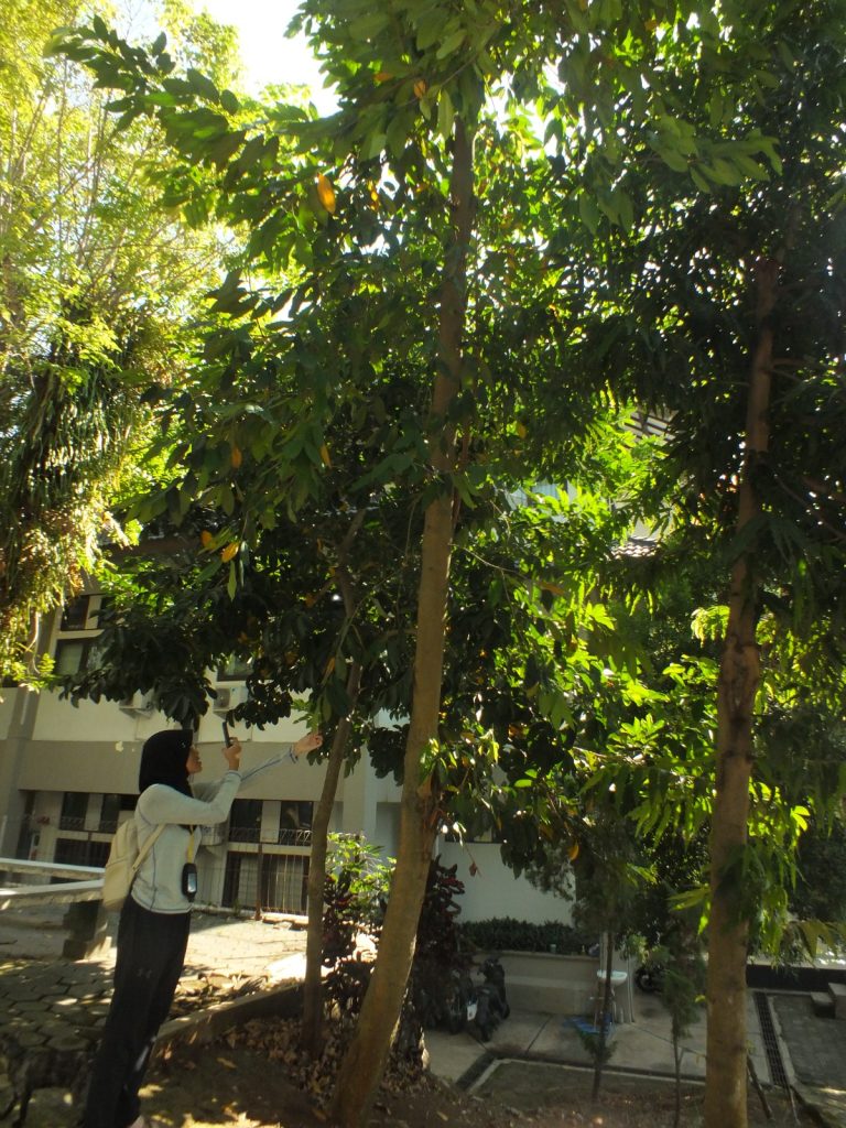
Through these tree data collection and mapping activities, Universitas Diponegoro students not only developed their capabilities in vegetation inventory, spatial mapping, and biodiversity analysis, but also contributed to providing scientific data beneficial for campus environmental management. The resulting data are expected to serve as a baseline for sustainable green space planning and management, while supporting the implementation of the Sustainable Development Goals (SDGs)—specifically SDG 11 (Sustainable Cities and Communities) by enhancing the quality of campus green spaces, SDG 13 (Climate Action) by providing vegetation data that support climate change mitigation, and SDG 15 (Life on Land) through biodiversity conservation efforts.
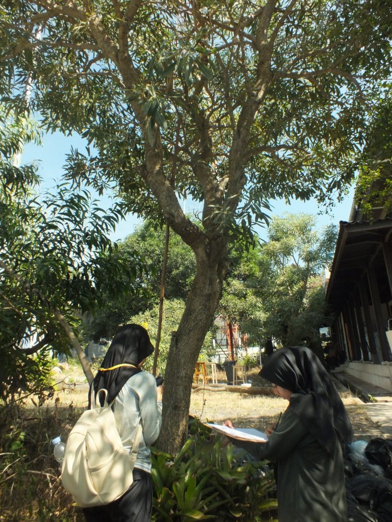
This initiative demonstrates that tree biodiversity data collection and mapping on campus constitute a tangible step toward supporting sustainable development. Through the World Class University (WCU) program, Universitas Diponegoro continues to encourage students to produce impactful research and make meaningful contributions to environmental management. The resulting database is expected to serve as a reference for conservation activities, green open space management, and data-driven decision-making to create a greener, climate-resilient, and sustainable campus.